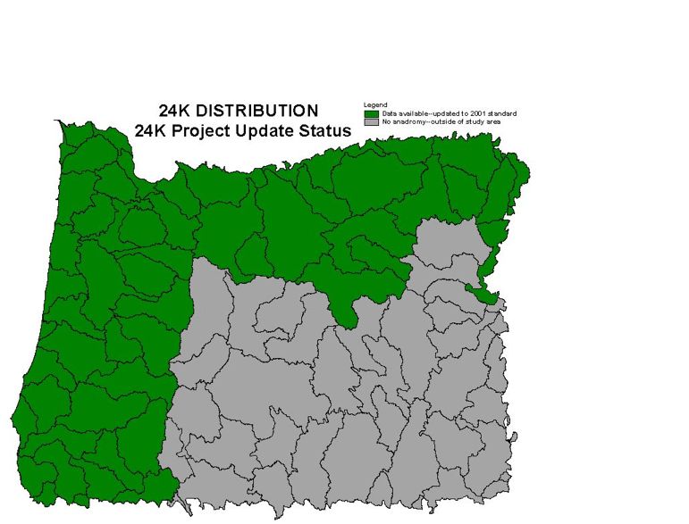
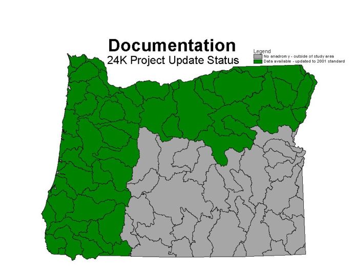
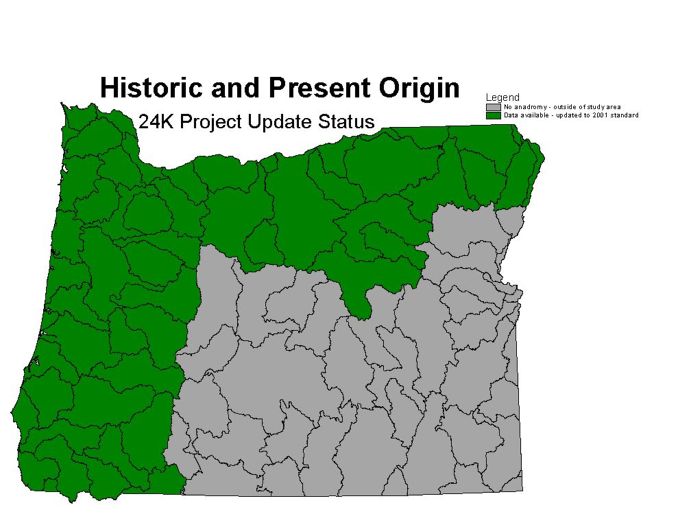
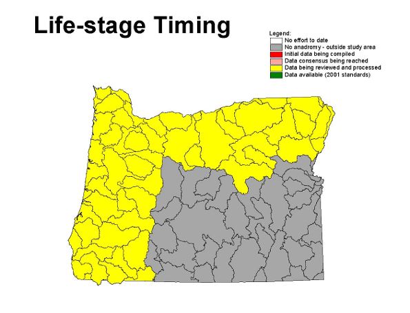
Please note: The 1:24K Hydrography
Development Status Tracking Map is primarily
intended to track internal BLM data development for 1:24,000 hydrography data.
Data integration between the BLM and USFS in mixed ownership areas is underway,
but details of this integration activity are not shown on the map. Watersheds
that BLM is processing under the Memorandum of Agreement with the State
of Oregon
are indicated on this map.